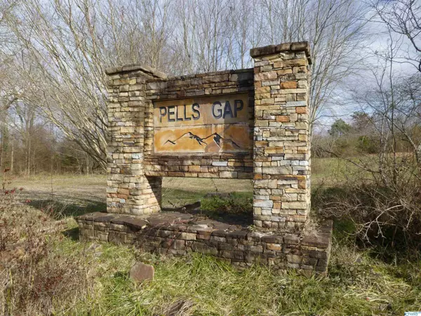
126 County Road 1010 Fort Payne, AL 35968
UPDATED:
03/23/2024 04:24 PM
Key Details
Property Type Vacant Land
Sub Type LOT
Listing Status Active
Purchase Type For Sale
Subdivision Pells Gap
MLS Listing ID 1799116
HOA Y/N No
Originating Board Valley MLS
Lot Size 0.810 Acres
Acres 0.81
Lot Dimensions 170 x 150 x 227 x 225
Property Description
Location
State AL
County Dekalb
Direction From Airport Road In Fort Payne Take Co Rd 27 (Sylvania Rd) To Top Of Mountain, Turn Right On 1st Road (Co Rd 121) Go Approx. 1 Mile Turn Right Into Pells Gap Subdivision, Then First Left On Co Rd 1010 (Blue Bird Drive) 700 Ft Lot Is On The Right.
Interior
Fireplace No
Exterior
View Bluff/Brow
Present Use Lot
Street Surface Paved
Building
Lot Description Level, Sloped, Wooded, Views, Upside
Sewer None, Septic Tank
Water Public
New Construction No
Schools
Elementary Schools Sylvania Elem School
Middle Schools Sylvania Middle School
High Schools Sylvania
Others
Tax ID 1404190000008.021

Based on information from North Alabama MLS.
GET MORE INFORMATION


